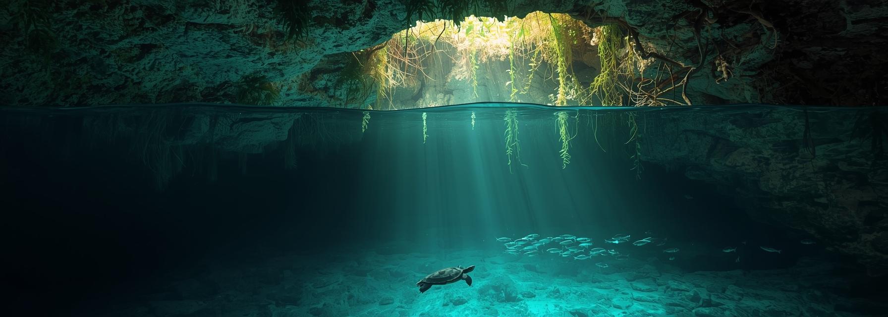
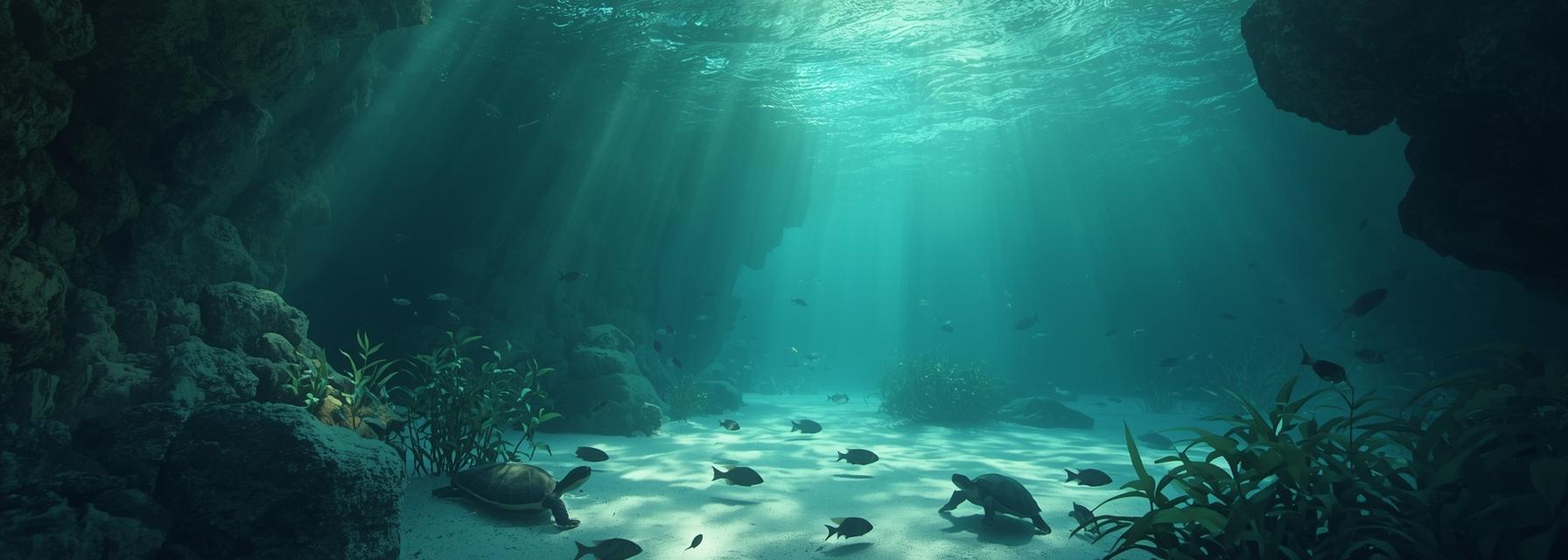
Cenotes form where the limestone Yucatán Platform, laid down during the Late Cretaceous, has been dissolved by meteoric water to produce extensive karst conduits. Recharge occurs predominantly during the rainy season (May–October), feeding a freshwater lens that floats on denser saline groundwater derived from the Caribbean. In many coastal cenotes the freshwater lens ranges from 2 to 20 meters thick; the halocline — the sharp gradient between fresh and marine water — is commonly encountered at depths between 3 and 15 meters depending on local geometry. Typical surface temperatures are 24–26 °C year-round. Dissolved oxygen near the photic, oxygenated layer measures around 6–8 mg·L−1; below the halocline oxygen often drops toward hypoxic values and deep pools may become anoxic with measurable hydrogen sulfide where sulfate reduction dominates. Visibility in open-water cenotes often exceeds 30 meters on calm days, but plumes during recharge reduce clarity dramatically.
Water chemistry gradients determine where organisms can persist. Freshwater-adapted fauna occupy the upper oxic lens. The halocline concentrates ions and nutrients and creates a chemo-physical boundary used by many species as a refuge or feeding interface. Below the halocline, communities shift to low-oxygen specialists and chemolithoautotrophic microbes that form mats and precipitate carbonate.
Cenote biota fall broadly into surface-connected (epigean) communities and subterranean-adapted (hypogean) assemblages. Epigean taxa include widespread macrophytes, fishes and wading birds. Hypogean organisms show troglomorphic traits: reduced pigmentation, eye reduction or loss, elongate appendages, and metabolic adaptations to oligotrophic conditions. Trophic structure is often detritus-based; allochthonous leaf litter, percolating organic matter and bat guano subsidize food webs, while microbial production and chemoautotrophy support deeper communities.
Key vertebrates and invertebrates commonly encountered by trained divers are summarized below to aid identification and monitoring. This section lists frequently observed organisms, their typical habitat zone in cenotes, and diagnostic field marks suitable for underwater recognition.
| Common name and scientific name | Typical zone encountered | Diagnostic features underwater | Notes on occurrence |
|---|---|---|---|
| Blind cavefish, Astyanax mexicanus (cave forms) | Hypogean pools, low light | Reduced/absent eyes, pale body, slender form | Cave and surface morphs co-occur in some sinkholes |
| Surface/anchialine characins, Astyanax spp. (surface forms) | Upper freshwater lens | Pigmented, normal eyes, silvery flank stripe | Often form small schools near inlets |
| Mollies, Poecilia mexicana / Poecilia latipinna | Freshwater lens, entrances | Deep-bodied, livebearing; males with gonopodium | Cave-adapted populations occur regionally |
| Catfish, genus Rhamdia | Benthic upper lens, under ledges | Elongate, barbels visible at close range | Nocturnal; feed on detritus and invertebrates |
| Cave amphipods, various stygobionts (Axyidae/Hyalellidae relatives) | Hypogean crevices, sediments | Small, laterally compressed, transparent | Abundant in detrital accumulations |
| Cave shrimp, Typhlatya pearsei and related Atyidae | Halocline and deep pools | Slender, translucent, elongated rostrum | Important trophic link; many are endemic |
| Freshwater sponges (Spongillidae) | Submerged walls in oxic zones | Encrusting, pale, sometimes filamentous | Sensitive to eutrophication |
| Bats (various Molossidae, Phyllostomidae) | Overhanging galleries and caves | Seen at dusk entering/exiting; guano deposits | Guano supports rich detrital food chains |
Feeding mode, schooling behavior and microhabitat preference provide strong cues for species determination underwater. Herbivorous or detritivorous fishes graze on periphyton or sift sediments; piscivores patrol open water. Troglomorphic species tend to hug walls, occupy undercuts and concentrate near organic inputs. When identifying, observe these points:
For morphology, focus on eye size, degree of pigmentation, body depth, fin placement and presence of barbels. Juveniles often differ markedly from adults; surface morph juveniles may be pigmented while cave juveniles are paler. Color cues in halocline conditions can be misleading due to refraction and light scattering, so combine multiple traits before assigning a species.
Effective documentation requires controlled lighting to avoid bloom and to reveal diagnostic features without stressing animals. Use low-intensity strobes angled to minimize backscatter and set cameras to higher ISO with slower shutter speeds for low-light halocline shots. When filming the halocline, maintain steady buoyancy to avoid disturbing the boundary.
Non-invasive sampling is preferred: visual censuses along transects, timed counts, and standardized photo quadrats produce repeatable data. Environmental DNA (eDNA) sampling, implemented with local research partners, can detect cryptic or rare taxa where visual detection fails. Data standards to follow include recording GPS, depth, time, water temperature, conductivity and visual estimates of abundance.
Ethical diving practices reduce impacts: avoid touching speleothems or disturbing sediment, maintain buoyancy above delicate mats and refrain from handling fauna unless part of permitted research. Permits from federal authorities and coordination with institutions such as CICY, UNAM and CONABIO are required for any specimen collection.
Seasonal recharge alters salinity gradients and clarity. Heavy rains dilute the lens and mobilize nutrients and sediments, temporarily increasing turbidity and shifting species vertical distributions. Chronic threats include wastewater contamination, agricultural runoff, unregulated tourism and groundwater extraction that thin or reverse the freshwater lens. Invasive species such as tilapia and nonnative crayfish have impacted native assemblages in parts of the peninsula.
Specialist dive operators like Xibalba can reduce impacts and advance science by training divers to recognize local fauna, implementing standardized monitoring protocols, participating in eDNA campaigns, and collaborating with CICY and UNAM on restoration and protected-area planning. Citizen-science programs that collect photographic records and water-quality metrics have proven effective in documenting changes over time and informing municipal water management.
Recommended regional references and contacts include Instituto de Biología (UNAM), Centro de Investigación Científica de Yucatán (CICY) and CONABIO databases. Engaging with these institutions ensures data quality and helps translate observations into conservation action that safeguards cenote ecosystems for both biodiversity and the cultural heritage of the Yucatán Peninsula.
Avenida Andromeda Oriente Manzana 7 Lote 7
Tulum Centro, 77780 Q.R.
01 984 871 2953
[email protected]
© 2025 Xibalba Dive Centre & Hotel
Website by tom st george
